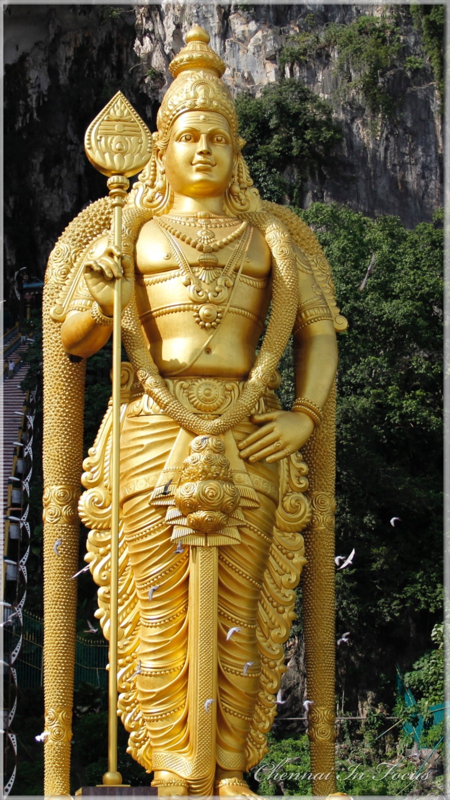
Tiruvannamalai
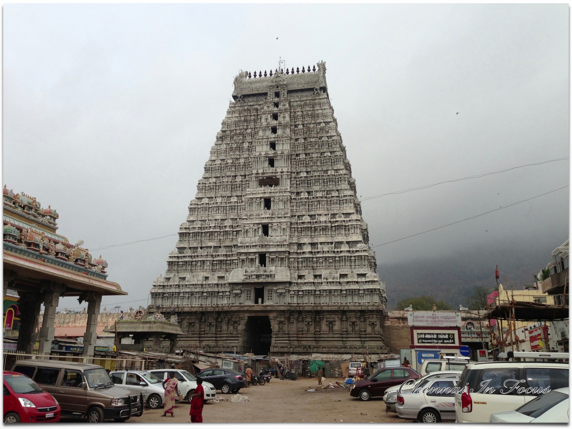
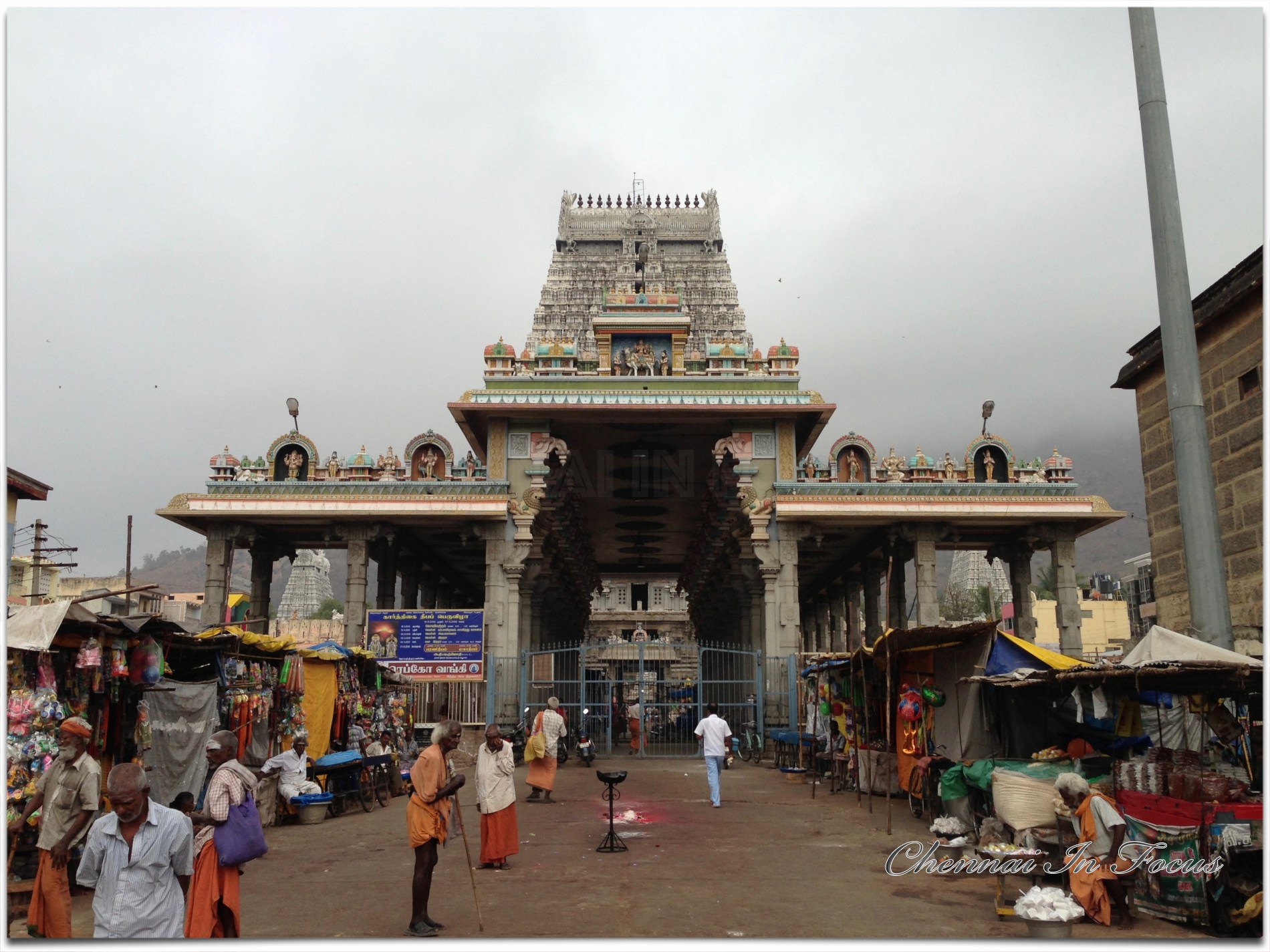
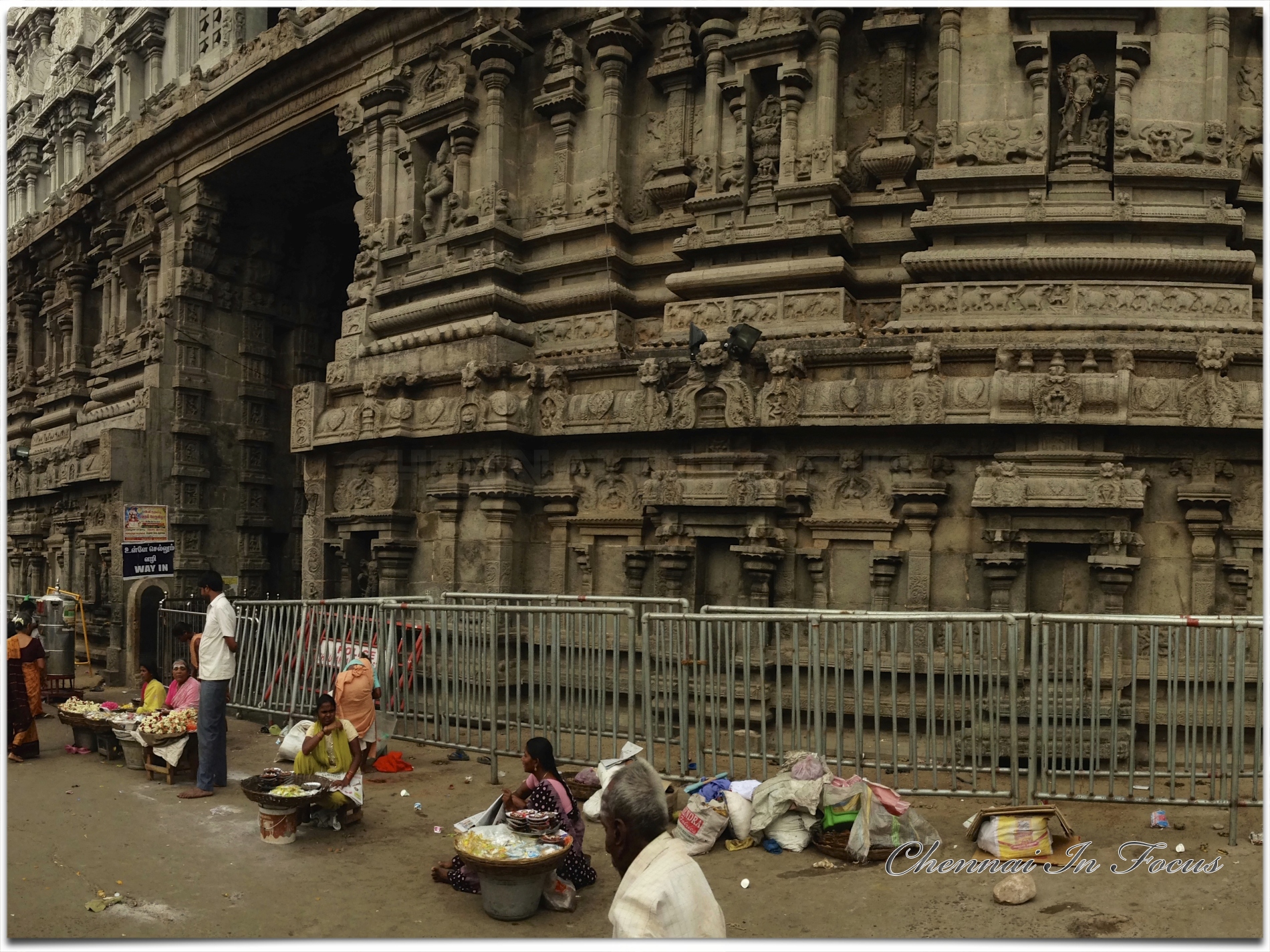
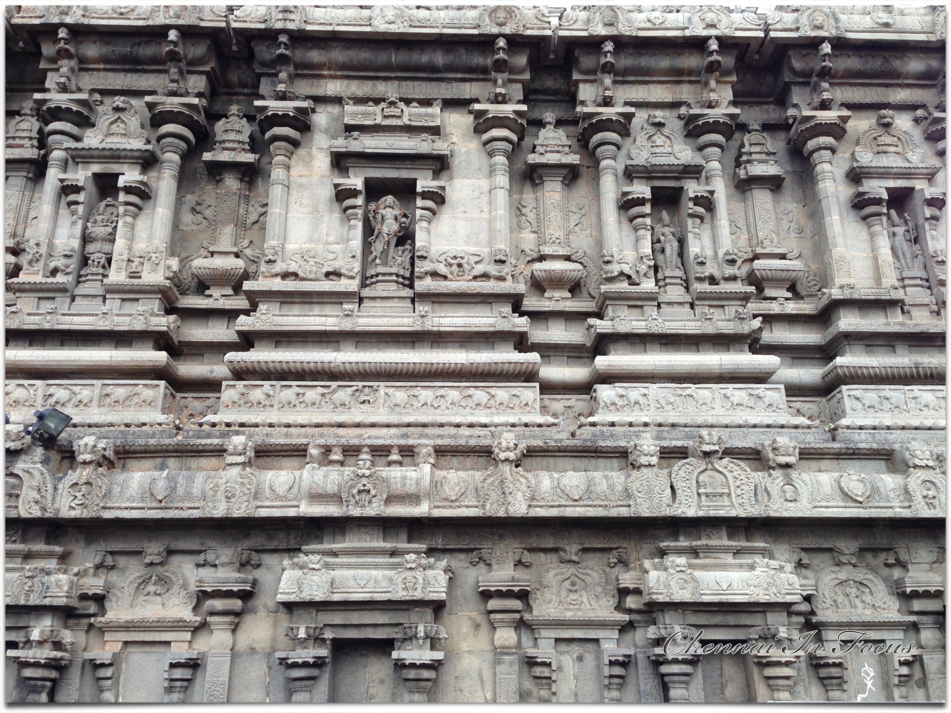
Tiruvannamalai (popularly styled as T.V.Malai and Trinomali or Trinomalee during British times) is a city and a special grade municipality in the Indian state of Tamil Nadu. The city is also mentioned as Arunai, Tiruvarunai, and Tondainattunallur in Tamil Tirumurai texts. The city is administered by a special grade municipality that covers an area of 13.64 km2 (5.27 sq mi) and a population of 145,278.[1] It is the administrative headquarters of the Tiruvannamalai District. Roadways are the major mode of transport in Tiruvannamalai, while the town also has rail connectivity. Chennai International Airport is the nearest domestic and international airport to the town. Tiruvannamalai is named after the central deity of the Annamalaiyar Temple, Annamalaiyar. The Karthigai Deepam festival is celebrated during the day of the full moon between November and December, and a huge beacon is lit atop the Annamalai hill. The event is witnessed by three million pilgrims. On the day preceding each full moon, pilgrims circumnavigate the temple base and the Annamalai hills in a worship called Girivalam, a practice carried out by one million pilgrims yearly.
Apart from other temples, there are 8 important shiva temples facing 8 important directions on the (side) path of Girivalam. All the Shivlings of these 8 temples are believed to have formed naturally.
Located on the foothills of Annamalai hills, Tiruvannamalai has been ruled by the Pallavas, the Medieval Cholas, the Later Cholas, Hoysalas, the Vijayanagar Empire, the Carnatic kingdom, Tipu Sultan, and the British. It served as the capital of the Hoysalas. The town is built around the Annamalaiyar Temple like other Nayak capitals. Tiruvannamalai is administered by a special-grade a municipality constituted in 1886. Tiruvannamalai has an average elevation of 200 meters (660 ft) and experiences a hot and humid climate. Being a pilgrimage town, most of the people are employed in the tertiary sector. There are 25 elementary schools, nine high schools, 18 higher secondary schools, four arts & science colleges, one government medical college and four engineering colleges in the town.